The Great Baltimore Earthquake of July 16, 2010
by Ann Finkbeiner
Okay, Washington felt it too, probably more than Baltimore. It was the biggest earthquake in the history of recorded Baltimore/Washington earthquakes, meaning since the 1970s or something, and magnitude 3.6. Southern California doesn’t even roll over in bed for a magnitude 3.6. It woke me up at 5:04 a.m., the room was vibrating, a rumble moved through and on out, and by 5:05 I was asleep again. Of no concern, right? The east coast doesn’t get earthquakes, right?
The US Geological Survey, the font and origin of earthquakology, says no, the east coast doesn’t get earthquakes. Except for Charleston, SC, and the St. Lawrence River Valley, which have gotten some damn big earthquakes; and except that east coast bedrock is solid and fairly continuous so when one place gets an earthquake, the rest of the rock rings like a bell and we all get earthquakes. But the big earthquakes are separated by centuries and the rest of them are small, says the USGS. They know this because they keep track of the locations and sizes of earthquakes and you can look at a map [PDF] showing little earthquakes scattered around like measles.
Here’s what I think. Because east coast earthquakes are uninteresting, the USGS doesn’t know much about them. What they do have is a few seismometers-Maryland seems to have one (1)-and after that, they ask people to write in and tell them about it, which is not exactly the Richter scale but the Mercalli scale, which was set up before science invented seismometers. You fill out a little questionnaire, clearly going up the scale in seriousness: did things fall off shelves? did your furniture fall over? did heavy appliances fall over? did your chimney fall over? What the USGS doesn’t have is a reliable map of known faults. They have a number of good reasons for this, but the fact is, if you don’t reliably know where the faults are, then the only way to predict the next earthquake is to look at that map of measles and say, “well, New York City seems to have had a bunch, maybe they’ll have more.” What I think is, I think we’re sort of on our own out here.
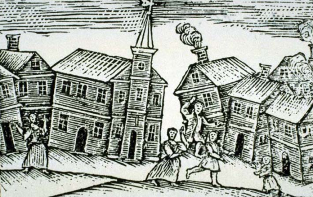
Above: Detail of an 18th century woodcut illustration of the 1744 Southern Cape Ann, MA, earthquake. Courtesy Rare Books Division, New York Public Library, Astor, Lenox and Tilden Foundations. This event was followed by the much-greater 1755 Cape Ann earthquake. According to the USGS, “The earthquake caused considerable damage in Boston, knocking down or damaging as many as 1,600 chimneys and collapsing brick walls of several buildings.” And: “The shaking of the earthquake toppled the grasshopper weathervane atop Faneuil Hall.”
Ann Finkbeiner is a science writer. For several years now, she’s been mostly writing books. She’s just finished her last book, has no idea for another one and hasn’t a clue what to do next. She’s co-owner of The Last Word on Nothing.